
Norwood Neighbors by Parcel
Public records can map a block without creating a household list. Begin with the address, identify its parcel, and examine each touching parcel separately. The assessment card can show a tax owner, situs, mailing-address clue, value, and parcel fields. The Registry can add a dated transfer history. A municipal voter list is governed by its own public-field and confidentiality rules. Historical directories, Sanborn maps, Census material, newspapers, and permits can add dated context. Each source should be described for what it actually proves.
| Block Source | What It Shows Around an Address | Access Route |
|---|---|---|
| MassGIS parcels | Parcel polygons, boundaries, and identifiers | Public map and data route |
| Norwood VGSI | Tax owner and card for a selected parcel | Free online property-card search |
| Norfolk Registry | Transfer history for an individual parcel | Online research and Registry access |
| Norwood abutters request | Parties in interest and owner mailing address for a c. 40A process | Specific request form, not a casual roll |
| Municipal voter list | Public registered-voter fields at the listed date | Town Clerk request; confidential fields excluded |
| Directories and maps | Historic occupants, businesses, buildings, or household context | Library, Historical Society, State Library, and archive routes |
A tax owner and a mailing address do not identify every household at the situs. The mailing address may be a post-office box, another municipality, or another state. A parcel polygon establishes geography, not a relationship between people. Nor does a voter-registration result draw a block, because the individual state tool requires a person’s exact name, full date of birth, and five-digit residential ZIP. Those distinctions make a Norwood neighbors search more accurate and more respectful of private information.
MassGIS Routes for Norwood Neighbors
No separate standalone Norwood GIS viewer was located in the official sources reviewed. The practical public mapping routes are the Massachusetts Interactive Property Map and MassGIS Property Tax Parcels, with the Norwood VGSI card providing the local parcel-card route. The verified approach is to find an address, zoom to its parcel, record the touching polygon or parcel IDs, and open each parcel’s own assessment and Registry trail. A formal radius, buffer, export, or “neighbors” tool was not verified, so none should be assumed.
Massachusetts GIS and public-records guidance frames the public data route used to map adjacent Norwood parcels.
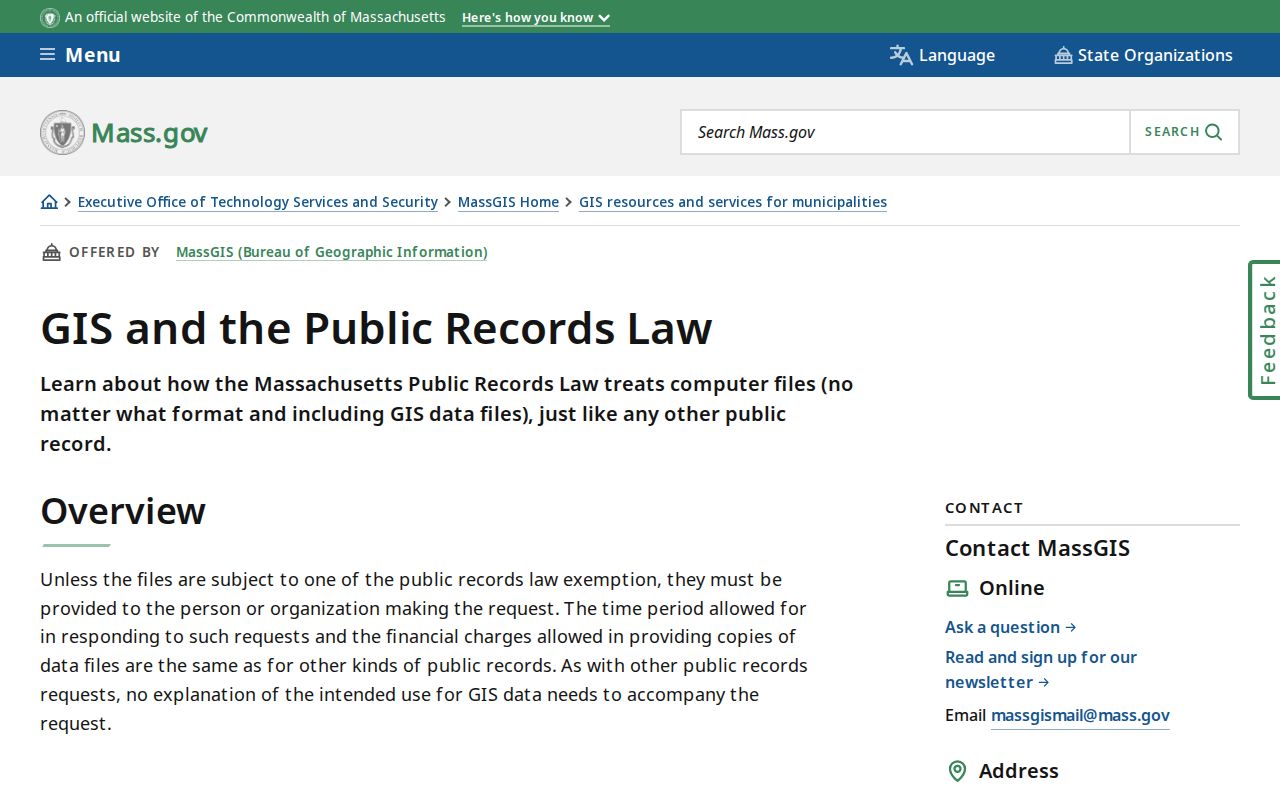
The guidance supports using public geographic records as a parcel-by-parcel reference, while access rules and record limits still apply to the underlying data.
The MassGIS standard also separates owner mailing fields from the site address. Keep those columns apart in notes. Treat the parcel ID, map and lot, book and page, or legal description as useful connecting details, especially when street numbers have changed or an old address does not produce a clean modern match.
Read a Norwood Parcel Card
The Norwood FY2026 assessment search is intended for address and owner-name property searching, although the complete live JavaScript field labels were not captured in the research. Start with the site address and preserve the owner name, mailing address, parcel details, assessment year, and deed reference exactly as displayed. The FY2026 bills reflect ownership as of 2025-01-01 and assessments use 2024 sales, which makes the card a dated tax record rather than a live household register.
Norwood bill self-service displays municipal billing categories that can help distinguish the type of account being considered.
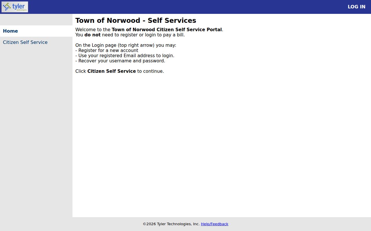
The municipal categories shown here are useful for locating the right billing context, but they do not establish who occupies a property.
For project history, Norwood EnerGov is the municipal permit and licensing self-service route. Its exact public fields were not captured, so use the portal or ask the custodian what address, project, applicant, owner, or final-status information is releasable. A narrowly described request can seek existing permits for one address and date range, including public permit date, type, public applicant or owner field, and final status.
Norwood Neighbor Deed History
Once an adjacent parcel has an owner or reference, use Norfolk online research to trace the individual parcel’s transfer history. Norfolk land records and images reach to 1793, but Recorded land and Land Court land use separate indexes. Address searching combines them, yet address indexing is strongest from 2003 forward. Earlier work often needs the name, grantor or grantee role, legal description, book and page, plan, or certificate rather than a modern street string.
Record each transfer as a dated role. The current grantee can be searched as a grantee, then the seller can become the next grantor as the chain moves backward. This may identify a property transaction, but it does not prove that every person connected to that name lived at the parcel. For an old block, add the library’s dated directories, newspapers, Sanborn maps, and Census material only after the parcel sequence is clear.
Map a Norwood Block by Parcel
A block method works outward from one known address. It keeps adjacent parcels distinct and avoids claiming that geographic proximity proves a household, friendship, or shared residence. The process uses the local card for owner context, state parcel maps for adjacency, and Registry records for dated transfer history. A person who needs a complete named-street trail can use the Norwood street directory after the immediate block has been mapped.
- Search the address in Norwood VGSI and record the site address, current tax owner, mailing address, parcel reference, and assessment year.
- Use the Massachusetts Interactive Property Map or MassGIS parcel layer to locate the same parcel and identify every touching polygon or parcel ID.
- Open each adjoining parcel’s VGSI card separately. Keep a separate line for the situs and mailing address, because the latter can belong elsewhere.
- Search each owner or parcel reference in the Norfolk Registry and record the date, grantor or grantee role, book and page, legal description, or plan that relates to that parcel.
- Add legitimate local context from a dated directory, newspaper, map, library, or Historical Society record, clearly labeling it as historical context rather than current membership.
For an abutter question tied to a zoning process, use the Town’s abutters-list form. It requests parties in interest and owner mailing addresses for a c. 40A purpose. It is not evidence of present occupants and should not be repurposed into a casual Norwood neighbors list.
Voter Status Cannot Draw a Norwood Block
Massachusetts gives public voter information a specific structure. The individual registration search requires first name, last name, full date of birth, a five-digit residential ZIP, and an acknowledgment. It can return a registration result for those inputs, but it has no verified street-browse mode and cannot be used to draw a block of Norwood neighbors. Public local list fields may include name, address, party, date of birth, active or inactive status, voter ID, elections voted, previous changes, mailing address, registration date, and inactivity date. Phone, email, veteran status, permanent-absentee status, confidential records, and minors are not public.
A dated municipal list follows a different route. Ask the Norwood Town Clerk for the requested election or date, available public fields, inspection or electronic format, and production cost. The Town Clerk is at 566 Washington Street, P.O. Box 40, with listed weekday hours of 8 to 4 and phone 781-762-1240. M.G.L. c. 51, § 47C and 950 CMR 49 govern confidential voter registration. A registration record remains one civic data point, not an occupancy list or a daily-presence claim.
Note: A failed voter search can reflect a changed ZIP, confidential status, or mismatched inputs rather than a person’s absence from Norwood.
Norwood Neighbors Context Contacts
No verified current Norwood neighborhood-association roster, HOA member directory, chamber member list, alumni roster, union roster, or umbrella association directory was located in the official and local sources reviewed. The following resources are legitimate contacts for historical or local context, not evidence that a named person belongs to a group. They can help interpret a block after parcel and deed research, but private membership must not be inferred from an organization’s public page.
| Resource | Contact or Access Route | Useful Block Context | Roster Status |
|---|---|---|---|
| Morrill Memorial Library | 33 Walpole Street; library access point | Directories, newspapers, yearbooks, town reports, municipal records, and genealogy links | No verified current association roster located |
| Norwood Historical Society | 93 Day Street; research resources | Assessor cards, deeds, directories, probate, newspapers, cemetery sources, and house research | No verified current association roster located |
| Massachusetts State Library | state and local resources | Directory, map, genealogy, and local-history referral context | No verified current association roster located |
The State Library’s local-resource guidance points researchers toward collections that can help place a Norwood address in historical context.
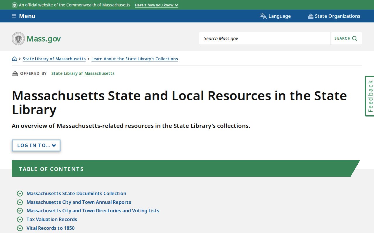
The resource path is best used alongside original records, because a local-history article or collection description does not establish current neighbors or private membership.
Guild Square Block History
Guild Square is useful as a reminder that a Norwood block has a history independent of today’s parcel card. Research identifies centuries of settlement there, with much land still undeveloped until the mid-1880s and the 1903 Sanborn map capturing later growth. The Norwood Historical Society’s Washington Street and St. Joseph Avenue-Mylod Street articles can supply address, business, household, and census clues for historical research. They are interpretation and pointers to original material, not current resident records.
For older addresses, pair a dated directory or newspaper with the relevant Sanborn sheet, deed description, and Census context. Washington Street’s 1897 route and overpass change can break a simple address search. A historical block comparison should therefore note the source year and preserve the old street spelling or nearby landmark instead of assuming today’s number is unchanged.
Norwood Neighbors: Official Records Compared
Official records and commercial neighbor tools answer different questions. The official route identifies a specific parcel, tax-owner or transfer record, and dated context that can be checked at the custodian. Commercial tools may combine public filings, licensed data, and old address associations, so their update practices and matching methods are not a substitute for the assessor, Registry, Town Clerk, court, or library. A commercial result should be treated as an unverified lead, never as a reason to skip the parcel-by-parcel record trail.
| Official public records | Commercial neighbor tools |
|---|---|
| Custodian, record date, and defined field limits are identifiable. | Data sources, matching methods, and refresh timing can vary. |
| VGSI and Registry separate tax ownership, mailing, situs, and transfer roles. | Old address associations can be combined or mismatched. |
| Municipal requests and library sources supply a documented fallback. | Results require independent confirmation through the official source. |
Norwood Neighbor Lookup Boundaries
A property trail has firm boundaries. Tax ownership and a mailing address are not a list of every non-owner household member, family member, visitor, utility customer, or delivery recipient. Confidential voters are excluded from ordinary voter lists, and the Massachusetts Address Confidentiality Program provides a substitute address and mail forwarding for eligible participants without guaranteeing that each underlying record disappears. Private association rosters are not public merely because an organization has a public website. Court, vital, and other records may also have redactions, sealed material, or eligibility rules.
If a municipal record is not online, make a narrow written request under the Massachusetts Public Records Law, M.G.L. c. 66, § 10 for an existing address-specific record and public fields. Ask for electronic delivery where available and expect appropriate redactions. An agency generally responds within 10 business days with production, an estimate, a denial, a clarification request, or an extension notice. A correction or restriction belongs with the assessor, Town Clerk, Registry, court, or other custodian that maintains it.
Lawful use. Use Norwood neighbors records for personal, lawful research and property context. Do not stalk, harass, intimidate, impersonate, or try to circumvent confidential-address protections.